
 EN
EN
 ar
ar bg
bg hr
hr cs
cs da
da nl
nl fi
fi fr
fr de
de el
el hi
hi it
it ko
ko no
no pl
pl pt
pt ro
ro ru
ru es
es sv
sv tl
tl iw
iw id
id lv
lv lt
lt sr
sr sk
sk sl
sl uk
uk vi
vi et
et hu
hu th
th tr
tr fa
fa ms
ms hy
hy ka
ka ur
ur bn
bn mn
mn ta
ta kk
kk uz
uz ku
ku
Inclinometer
Kingmach Inclinometer for category-level tilt monitoring are designed for bridges, tunnels, slopes, buildings, foundation pits, railways, dams, embankments, underground works, and geological hazard areas. The category includes fixed tilt sensors, integrated wireless tilt units, vertical in-place inclinometer strings, sliding inclinometer instruments, and acquisition modules. Product pages describe high-sensitivity sensing elements, real-time monitoring, strong anti-interference ability, easy installation, and adaptability to harsh environments. The practical role of the category is to observe angular change, deep internal deformation, and horizontal displacement patterns that may not be visible through ordinary survey methods. A complete tilt monitoring plan should define measuring axis, range, mounting surface, borehole depth, communication method, power supply, baseline date, and related instruments. That level of detail helps engineers interpret small angular changes without losing the connection to the structure or ground body being monitored.
Application of Inclinometer
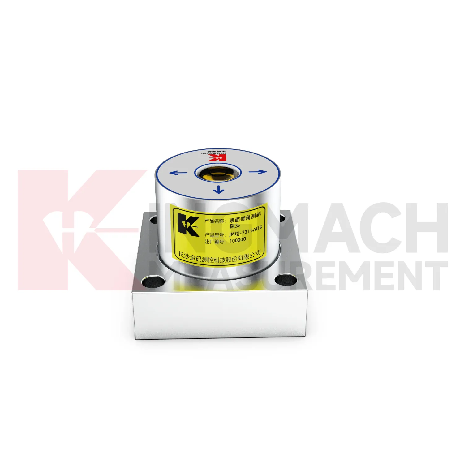
Building monitoring uses Inclinometer when column lines, basement walls, adjacent structures, or old buildings near construction activity need tilt records. JMQJ-7315ADS can measure angular change relative to the horizontal plane, and JMQJ-7315RTU can provide wireless reporting for remote or occupied sites. The data should be checked against foundation settlement, crack observations, groundwater changes, nearby excavation, demolition, pile driving, and load changes. Building tilt is often small, so installation quality matters. The mounting surface must be firm, the sensor axis must be recorded, and the baseline should be taken after the sensor has stabilized. For old or damaged buildings, clear point labels and photographs are important because many parties may review the same data during a long project.
The future of Inclinometer
Data interpretation will become a stronger part of future Inclinometer use. Angle values are precise, but the engineering meaning depends on direction, rate, location, structure type, and nearby events. A building column tilt record, a slope borehole profile, and a bridge pier rotation curve should not be judged the same way. Future platforms can help by grouping points by structure, showing rate of change, linking photos and inspection notes, and comparing tilt with settlement, displacement, strain, load, and water level. Kingmach tilt products provide the sensing layer; the next practical gain comes from making review workflows clearer. Better interpretation reduces both missed warnings and unnecessary field alarms.
Care & Maintenance of Inclinometer
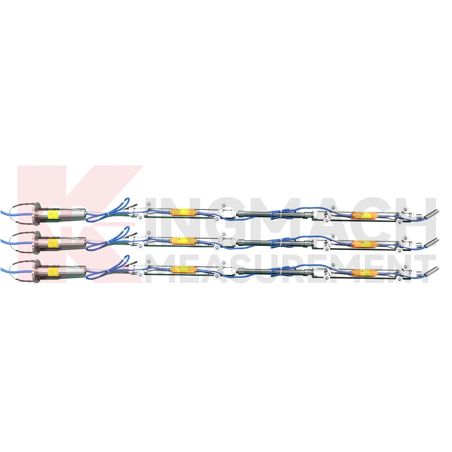
Borehole systems for Inclinometer need careful mechanical and data maintenance. JMQJ-7915ATS uses a multi-point tandem inclinometer string with universal joints, connecting rods, suspension, cables, and an orifice acquisition module. During installation, record measurement spacing, borehole ID, casing condition, orientation, group assignment, and factory configuration. During inspection, protect the orifice, check cable strain, review module status, and compare depth points for abnormal jumps. If one depth changes sharply while neighboring depths remain steady, inspect both the ground condition and the instrument chain. Borehole data is most useful when every depth point remains tied to a clear physical position and a stable orientation reference.
Kingmach Inclinometer
Kingmach Inclinometer support both surface structural tilt monitoring and deep internal deformation monitoring. Surface tilt instruments measure the angular change of buildings, bridges, railways, towers, walls, and equipment bases relative to the horizontal plane. Deep inclinometer systems, by contrast, follow angle changes inside soil or structural bodies through a borehole. The JMQJ-7915ATS vertical in-place inclinometer system uses a multi-array MEMS design, universal joints, connecting rods, and an orifice acquisition module to collect multi-point readings. This gives engineers a depth profile rather than one surface reading. That distinction is important in slopes, dams, embankments, foundation pits, and underground works. A surface point may remain calm while a deeper layer starts moving. Using the right tilt method makes the deformation pattern easier to locate.
FAQ
Q: How accurate is the JMQJ-7315ADS tiltmeter?
A: The product page lists 0.001 degree resolution and 0.01 degree accuracy for the +/-15 degree dual-axis model.Q: What protection grade does JMQJ-7315ADS have?
A: It is listed with IP68 waterproof protection and an operating environment from -30 degrees Celsius to +80 degrees Celsius.Q: What range does JMQJ-7315RTU provide?
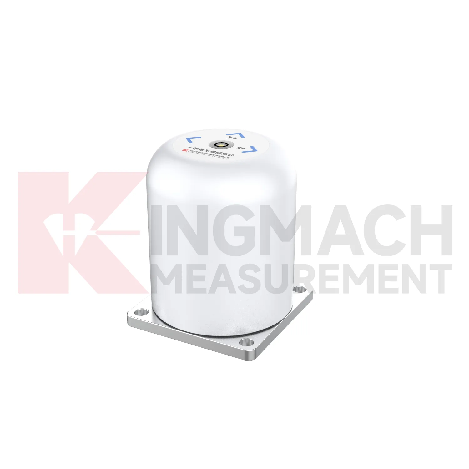
A: The integrated wireless model lists +/-30 degree and +/-15 degree dual-axis range options, with 0.001 resolution.Q: How many sensors can JMZX-4QH support?
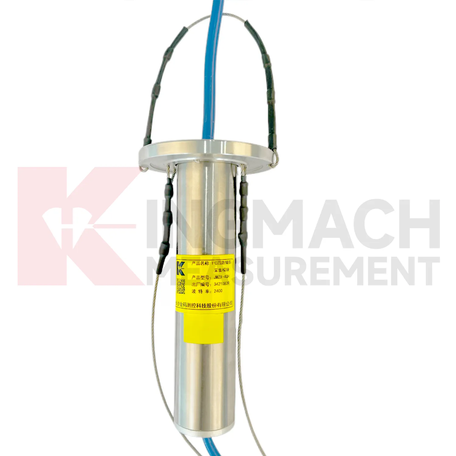
A: The module lists four channels and support for up to 100 sensors in a multi-point inclinometer system.Q: What is the guide wheel spacing for JMZX-7100L?
A: The sliding inclinometer page lists a 500 mm guide wheel spacing reference and a +/-90 degree sensor range.
Reviews
David Wilson
We purchased displacement transducers and settlement sensors, and the quality exceeded our expectations. Easy installation and reliable performance.
Ryan Lewis
Fast delivery and excellent product quality. The accelerometers and tiltmeters are highly reliable. Strongly recommend this company.
Latest Inquiries
To protect the privacy of our buyers, only public service email domains like Gmail, Yahoo, and MSN will be displayed. Additionally, only a limited portion of the inquiry content will be shown.
Amelia***@gmail.comSingapore
Hello, I am looking for visualization software for monitoring system data analysis. Please let me kn...
Olivia***@gmail.comUnited States
Hello, we are currently sourcing high-precision strain gauges and load cells for a bridge monitoring...