 ar
ar bg
bg hr
hr cs
cs da
da nl
nl fi
fi fr
fr de
de el
el hi
hi it
it ko
ko no
no pl
pl pt
pt ro
ro ru
ru es
es sv
sv tl
tl iw
iw id
id lv
lv lt
lt sr
sr sk
sk sl
sl uk
uk vi
vi et
et hu
hu th
th tr
tr fa
fa ms
ms hy
hy ka
ka ur
ur bn
bn mn
mn ta
ta kk
kk uz
uz ku
ku
gps data loggers
Kingmach gps data loggers are often selected when a project needs both confidence in individual sensors and organized data management. A sensor may be accurate, but the record can still become difficult to use if channels are mislabeled, upload intervals are unclear, or field notes are separated from values. Acquisition devices reduce that risk when they keep the measurement process disciplined. A readout can verify the point, a logger can continue collection, and a platform connection can support later review. This is important for dams, bridges, tunnels, slopes, buildings, mines, and civil structures where safety-related interpretation depends on a reliable time history. The device also helps teams detect management problems early. Missing intervals, repeated channel names, unexpected upload gaps, or values stored under the wrong point can weaken confidence even when the sensor is healthy. A disciplined acquisition setup gives each reading a clear origin and makes later review easier for engineers, owners, and maintenance teams. That discipline turns individual sensor signals into a usable project record. In long projects, this is important because construction teams, monitoring specialists, and asset managers may all handle the same data at different times. Clear acquisition discipline keeps their work connected. across project phases. and audits.
Application of gps data loggers
Slope and foundation pit monitoring uses Kingmach gps data loggers to keep displacement, load, pore pressure, rainfall, tilt, and structural response records organized. Field crews may use readouts to check sensors during excavation stages, anchor tensioning, drainage work, or inspection visits. Wireless loggers are useful when the site needs continuous records through rain, night shifts, or limited access periods. The acquisition interval should match the risk level and the construction stage. If excavation changes quickly, more frequent records may be needed; if the site is stable, routine intervals may be enough. A well-labeled data logger helps engineers compare changes with rainfall, excavation depth, support installation, and site photographs. In foundation pits, the monitoring record should follow construction sequence closely. Excavation depth, support installation, dewatering activity, anchor work, and heavy rainfall can all change the reading pattern. Acquisition equipment should help the team keep these events attached to the correct sensor group. This makes it easier to see whether a change belongs to construction progress, weather, support behavior, or a device issue. It also helps supervisors compare readings before and after excavation steps, temporary loading, rainfall response, and support adjustments without losing the site timeline. across the construction record. for later review. clearly.
The future of gps data loggers
Future Kingmach gps data loggers will give project teams more flexible acquisition intervals. Some sensors need frequent readings during excavation, loading, rainfall, or dynamic testing. Other sensors need stable long-term records at slower intervals. The ability to match acquisition timing to project behavior helps control data volume while preserving important events. Future devices should make interval changes traceable so reviewers know why a record became faster or slower at a certain date. This is important when construction stages or risk levels change. Flexible intervals should also protect the meaning of long-term trends. If a station records every minute during excavation and every hour after stabilization, the report should show that change clearly. Reviewers can then compare data periods correctly instead of treating different acquisition modes as if they were the same. This will help owners manage storage volume, event detail, and reporting clarity without losing engineering context. across project stages. over time.
Care & Maintenance of gps data loggers
Firmware, settings, and communication checks help Kingmach gps data loggers remain dependable. Remote upgrade, communication mode, sampling interval, baud rate, platform channel, and storage behavior should be documented when changed. A setting change can alter the meaning of the record if it is not visible to reviewers. Before changing intervals or upload rules, the team should confirm why the change is needed and which channels are affected. After the change, a short verification reading should be saved. This makes the acquisition history easier to audit. Settings maintenance should include a before-and-after note. If a station changes from frequent readings to slower routine acquisition, the report should show that timing change. If communication is moved from local export to wireless upload, the platform channel should be checked against the field label. These notes protect interpretation after updates. and reduce avoidable disputes. during audits and handover. over time. for teams. clearly and safely. consistently.
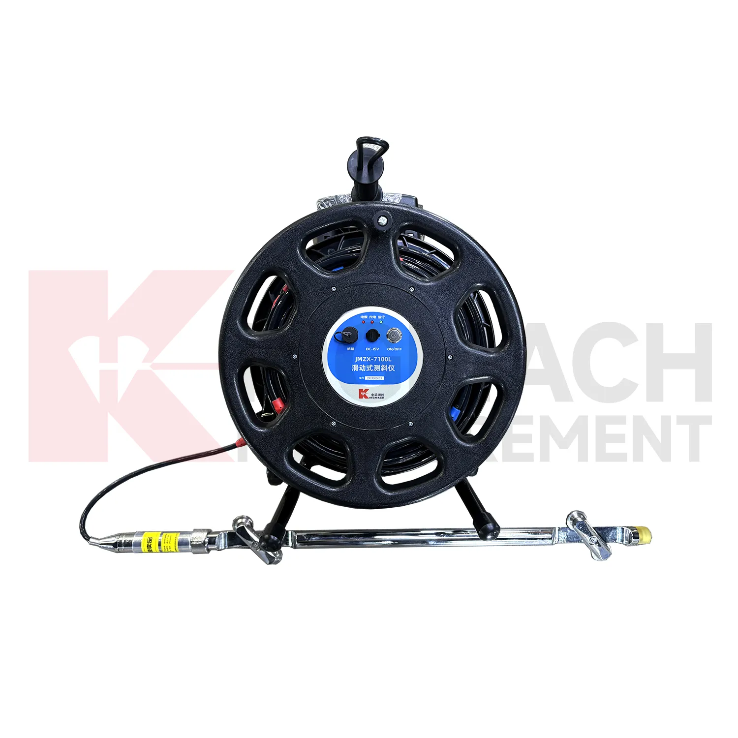
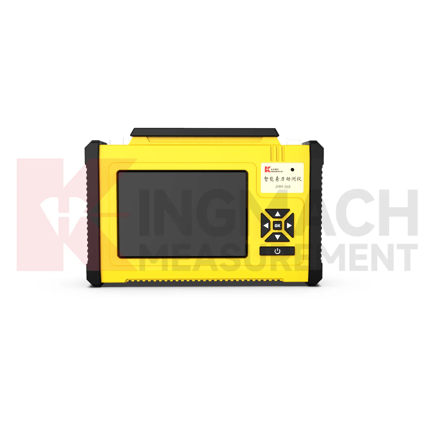
Kingmach gps data loggers
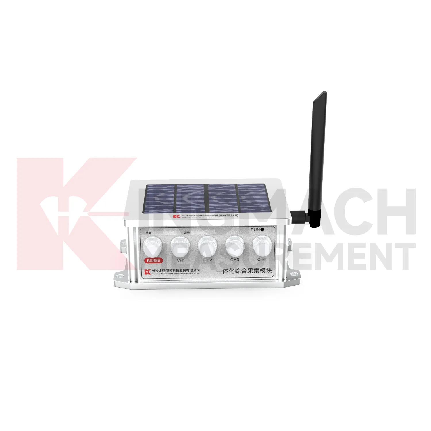
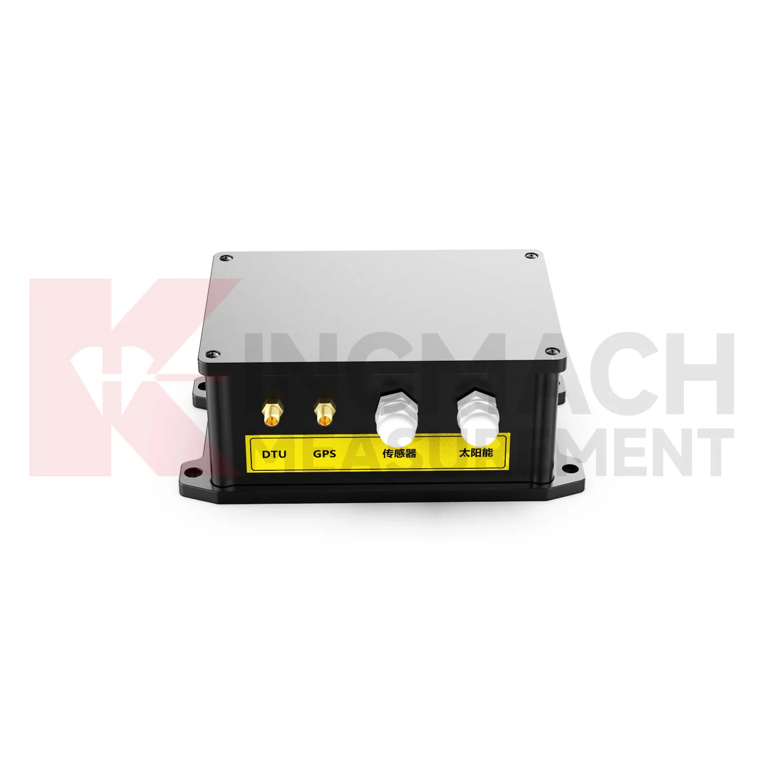
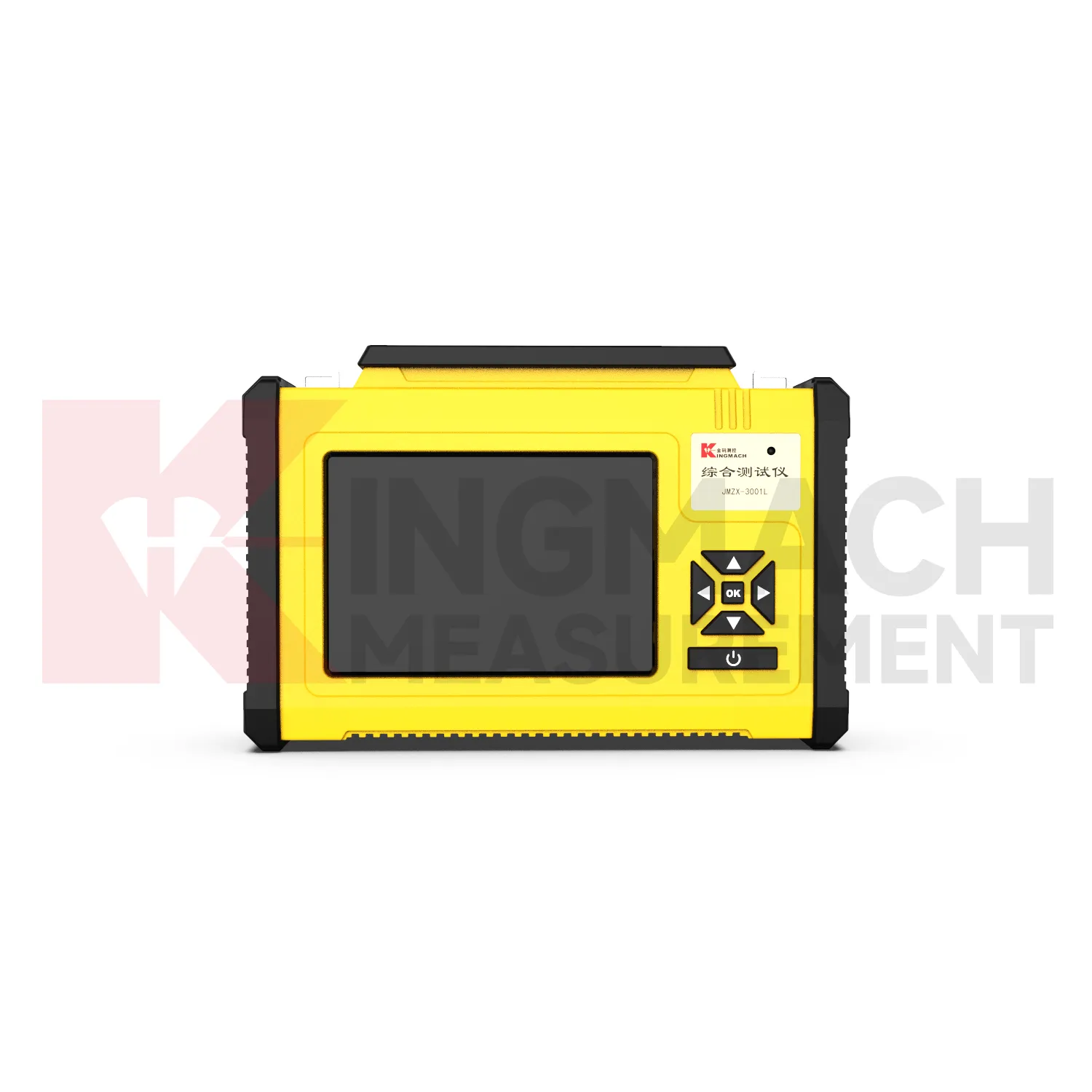
A strong monitoring system needs Kingmach gps data loggers that fit the sensor network and the site conditions. Some projects need a compact handheld unit for spot checks and commissioning. Others need a multi-channel data logger for vibrating wire sensors, dynamic strain, environmental points, or digital RS485 instruments. Remote sites may need low-power wireless acquisition with scheduled measurement and active upload. The important question is how the device helps the team keep a continuous, explainable record. Battery condition, enclosure protection, communication path, channel labels, and data export all influence whether the monitoring record can support maintenance, safety review, or construction control. For remote stations, the acquisition interval, upload status, battery condition, enclosure condition, and last maintenance visit should remain visible so unattended monitoring does not become a blind record. For dynamic tests, timing accuracy, event naming, channel synchronization, and signal conditioning help the team compare motion or strain events with construction activity, traffic, wind, or machinery operation.
FAQ
Q: Where are these devices used?
A: They are used in bridges, tunnels, dams, slopes, buildings, foundation pits, railways, mines, industrial testing, and other monitoring projects.
Q: Why combine readouts with loggers?
A: Readouts confirm field points during visits, while loggers keep collecting data between visits. Together they support both verification and continuity.
Q: What should a remote station show?
A: A remote station should show acquisition status, last upload time, power condition, active channels, storage condition, and recent maintenance history.
Q: How do these devices support reports?
A: They keep readings traceable by time, channel, sensor type, location, and device status so engineers can explain trends and events more clearly.
Q: What causes confusing readings?
A: Loose cables, wrong channel names, weak power, wet enclosures, changed settings, sensor faults, or real site changes can all create confusing records. The record stays useful when point names, channel labels, sensor type, measurement time, and field condition are kept together, because later reviewers can connect the number with the actual structure and inspection history.
Reviews
Daniel Brown
Excellent environmental monitoring sensors. The data is consistent, and the system integrates smoothly with our existing setup.
Ryan Lewis
Fast delivery and excellent product quality. The accelerometers and tiltmeters are highly reliable. Strongly recommend this company.
Latest Inquiries
To protect the privacy of our buyers, only public service email domains like Gmail, Yahoo, and MSN will be displayed. Additionally, only a limited portion of the inquiry content will be shown.
Evelyn***@gmail.comSouth Africa
Hi, we are a contractor working on tunnel construction and need settlement sensors and displacement ...
Isabella***@gmail.comGermany
Hello, we are evaluating weir flow meters for a water management project. Please share accuracy deta...
Related product categories
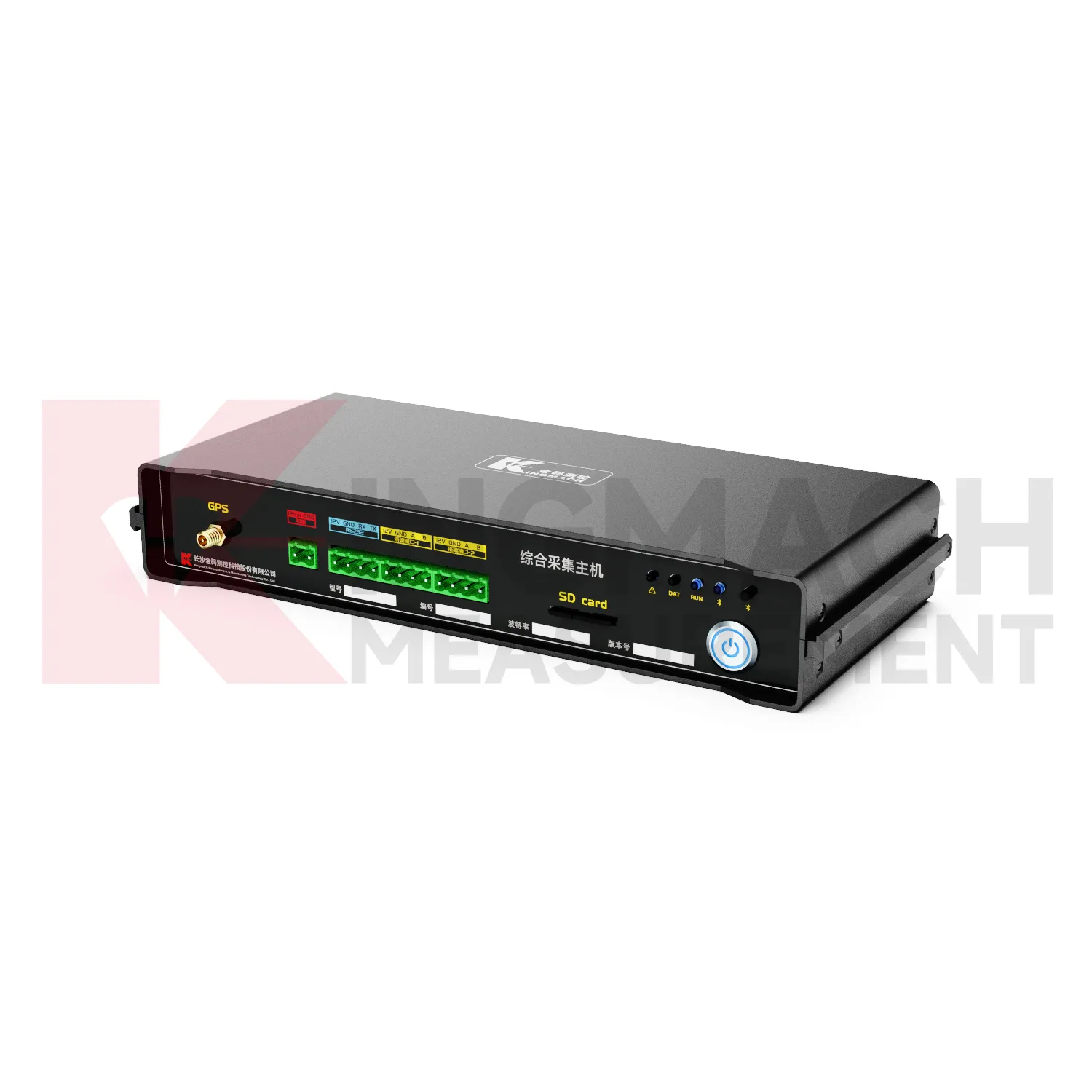
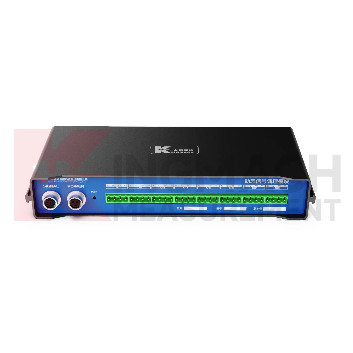
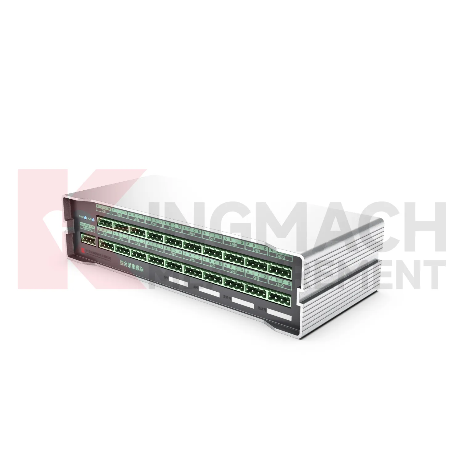
- Integrated Comprehensive Acquisition Module
- Wireless Data Logger (low power consumption design)
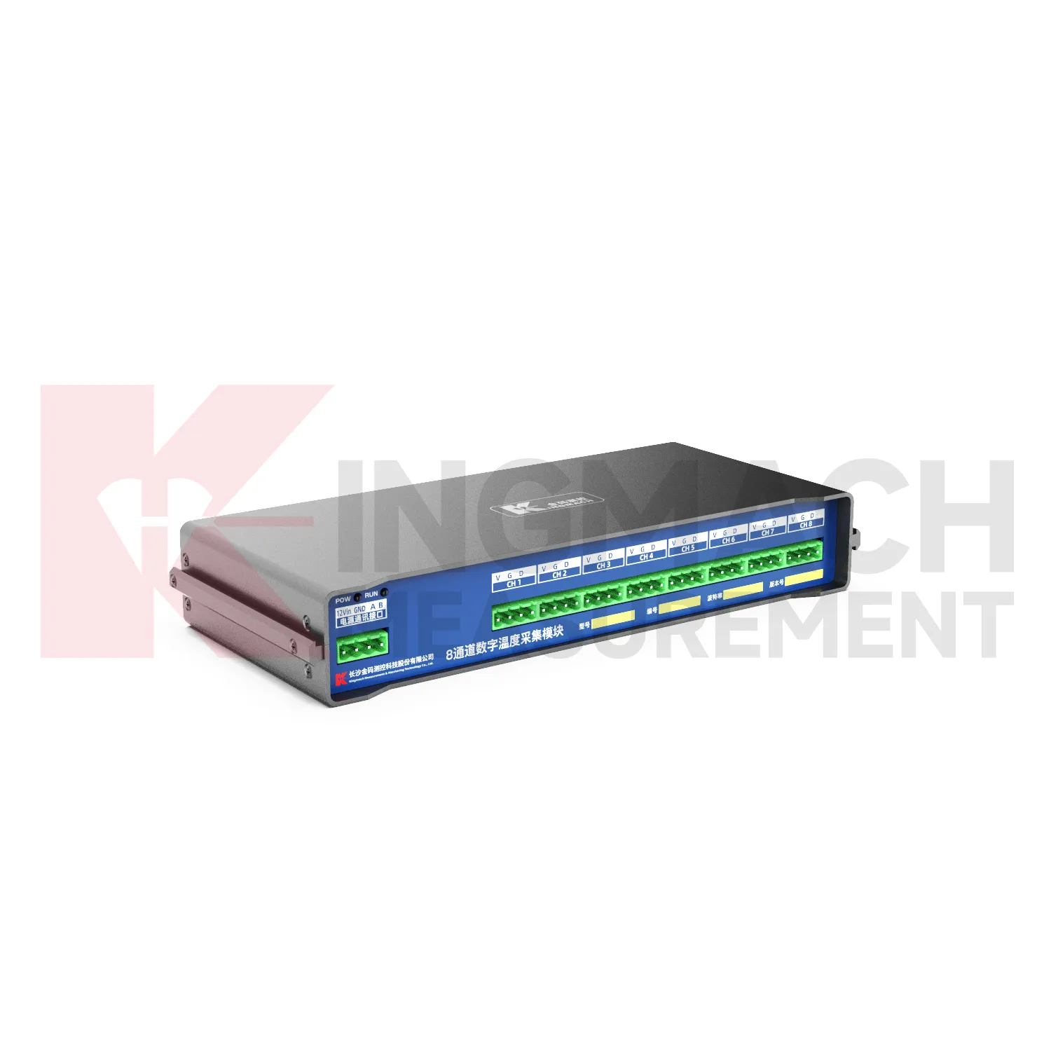
- Data Loggers
- jointmeters
- Communication Systems
- Software Platform
- Survey Equipment
- Data management software
- Monitoring Software Suite
- Groundwater modeling software
- Data Acquisition Systems
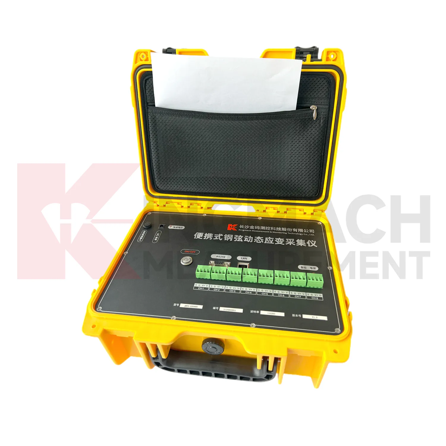
- Portable Vibrating Wire Dynamic Strain Data Logger